
Mojave Desert, California |

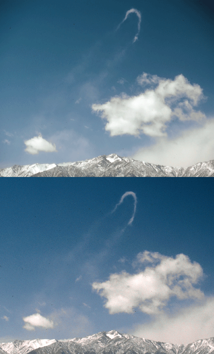 On a typically windy day in the Saline Valley I spotted a most unusual cloud.
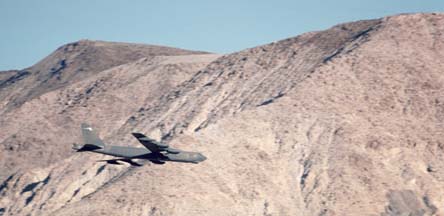 I know some places where military jets fly at
low altitude in the wild.
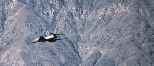 These pictures of jets flying at low
altitude in the desert were taken on camping trips in 1999.
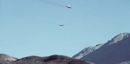 These pictures of jets flying at low
altitude in the desert were taken on a camping trip in
November 2001.
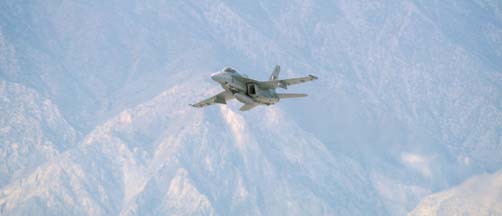 These pictures of jets flying at low
altitude in the desert were taken on a camping trip in April
2002
On the longest day of 2002, I drove up the Swansea-Cerro Gordo Road to the Burgess Mine at the crest of the Inyo Mountains just before sunset. I continued across the crest of the Inyo Mountains to Cerro Gordo, arriving as the full moon rose.
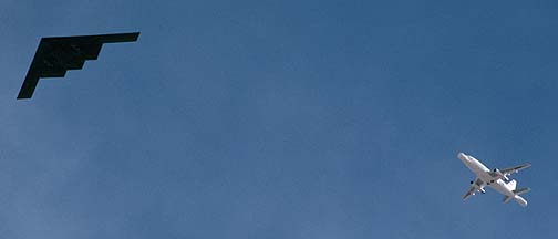 On a trip to Death Valley in
January 2003, I spotted a Northrop
B-2 Stealth Bomber flying in formation with the highly modified
Boeing NT-43A Radar Test Bed. It was a new one on me.
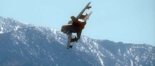 I spent a week in March 2003 photographing
military jets in the wild.
 On Tuesday, October 5, 2004, my sister and I drove our Toyota 4Runners
to the ghost town of Ballarat
in the Panamint Valley with the intent of 4-wheeling up Pleasant Canyon to
Rogers Pass.
 Here's a display of wildflower pictures from a trip to Death Valley during the first weekend in April. Stops along the way include the Antelope Valley, Inyo Mountains, Alabama Hills, Augereberry Point, Wildrose Canyon, and the Padre Crowley Overlook above the Panamint Valley.
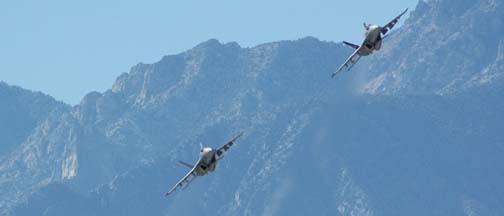 I spent four days in November 2005 camping in the Saline Valley photographing military jets, mostly Super Hornets and RAF Hercules.
 The Saline Valley is a remote and beautiful part of Death Valley National Park. The primitive roads and utter lack of services make it one of the least visited parts of the park.
 Over Veteran's Day weekend I toured Owens Valley, the Inyo Mountains, Panamint Valley, and Trona Pinnacles. I shot several panoramic photos along the way.
 On Monday, October 8, we toured the Alabama Hills and then drove up to Papoose Flat in the Inyo Mountains.
 On Tuesday, October 9, we drove over Cerro Gordo Pass in the Inyo Mountains, then cruised through Lee Flat on our way to Hunter Mountain.
 I spent five days in the Saline Valley photographing scenery and jets in the wild. Two days after I returned home, the winds were gusting to 48 miles per hour where I was camping.
Panamint Valley and Saline Valley Slideshow: Slideshow of scenery in Panamint Valley and Saline Valley in March 2008.
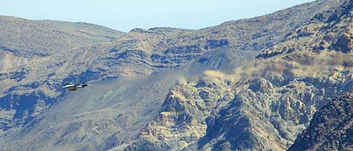 The Saline Valley is home to a great deal of military jet training and testing. I photographed several Super Hornets and Fighting Falcons during a recent visit.
Saline Valley Birdwatching: Slideshow of Boeing-McDonnell-Douglas F/A-18 Hornets from NAS Lemoore and NAWS China Lake and General Dynamics F-16 Fighting Falcons from Fresno ANG and Edwards AFB flying at low altitude in the Saline Valley in March 2008.
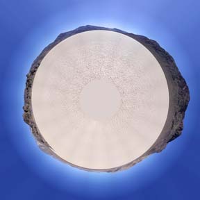 On Sunday, October 5, I shot a series of panoramas with my Gigapan robotic camera mount in the Alabama Hills near Lone Pine, and up at Horshoe Meadow in the Sierra Nevada. On Monday, I drove across Lee Flat, over Hunter Mountain, through Ulida Flat and Hidden Valley, via Teakettle Junction to Racetrack Playa. Then I cruised through Racetrack Valley, past Dry Mountain to Ubehebe Crater.
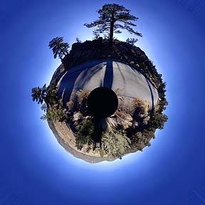 On Saturday, December 6, I started at the Mojave Airport. I drove north on the Antelope Valley Freeway to Nine Mile Canyon, which I followed to Kennedy Meadows. Above Kennedy Meadows, just past Fish Ctreek Meadow at an elevation of 7,800 feet, the road was icy, so I returned the same way.