 (Download a higher resolution picture by clicking on any
picture below.)
Death Valley Wildflower Trip |
April 1 - 3, 2005 |
 (Download a higher resolution picture by clicking on any
picture below.)
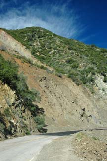 The cleanup crews have finished with this landslide on the Lake Hughes Road.
I explored the dirt roads on the north side of the Antelope Valley Poppy Preserve.
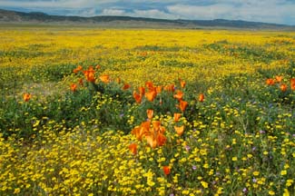 The preserve is carpeted over large areas with Goldfields.
 California Poppies are showing up in increasing numbers.
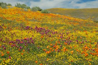 Patches of Owl's Clover are growing in the hills.
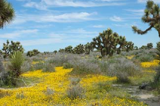 Joshua Trees are temporarily sharing the desert with widespread Goldfields.
 Owens Lake actually has water in it. The Inyo Mountains are on the other side of Owens Lake at left. The Coso Range is on the right.
 The Sierra Nevada appears at both ends of the panorama.
 The Inyo Mountains at sunset from the Owenyo Road, near Lone Pine. The Sierra Nevada appears on both sides of this panoramic photo.
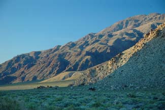 Building sized boulders have rolled a long way from the base of this residual granite hill.
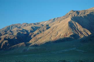 The metamorphic rocks of the Inyo Mountains have long been mined for talcum powder.
 The first light of day bathes the snowy Sierra Nevada. Horseshoe Meadow Road is just a few minutes up the Whitney Portal Road from Lone Pine.
 Movie Road leads through the Alabama Hills, where a great many Hollywood productions were filmed.
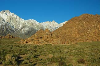 Mount Whitney appears directly above the saddle in the foreground hill.
 Switchbacks of the Whitney Portal Road can be seen in the foothills of the Sierra Nevada.
 Rainbow Gorge is at left. Highway 190 winds down to the floor of the Panamint Valley though brightly colored volcanic rock. Telescope Peak and the higher peaks in the Panamint Mountains are still shrouded in snow.
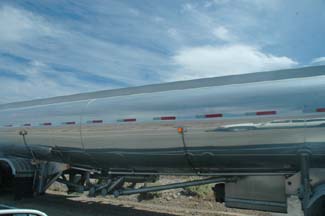 The brakes on this gasoline tanker truck started billowing clouds of opaque white smoke as we caught up to it on the steep grade down from Emigrant Pass. I stopped when it pulled off the road ahead of me. It looked like it just might catch fire.
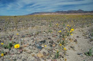 The most prominent flowers on the floor of Death Valley are yellow Panamint Daisies.
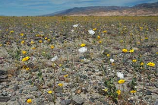 The white flowers of Desert Chicory plants stand out among the daisies.
Somebody is telling everyone what a great place Augereberry Point is to watch the sunset. A veritable parade of cars streamed up the primitive road to the overlook.
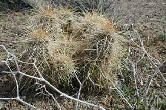 Hedgehog cacti grow at an altitude near 7,000 feet in the Panamint Mountains.
 Augereberry Point is at the end of the road at the left of this panorama. Badwater, the lowest point in North America is just to the right of center.
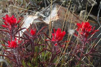 Indian Paintbrush prefers the higher elevations above Death Valley.
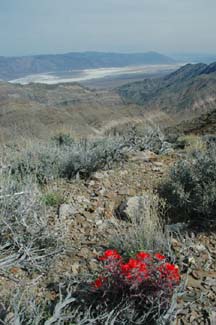 Indian Paintbrush adds a bright spot of color to an otherwise drab landscape.
The Wildrose Canyon Road washed out in several locations during the winter storms. It has been reopened all the way to the Panamint Valley Road.
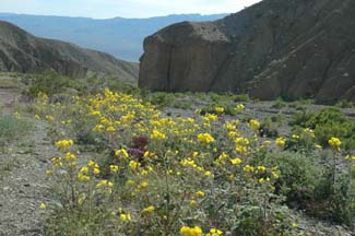 Desert Primrose is blooming along much of the Wildrose Canyon Road
There is a bright yellow stand of Brittlebush in the wash above Panamint Springs.
 Rainbow Gorge is at left. Highway 190 winds down to the floor of the Panamint Valley though brightly colored volcanic rock. Telescope Peak and the higher peaks in the Panamint Mountains are still shrouded in snow.
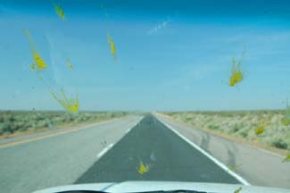 The bowers of yellow flowers are feeding large numbers of butterflies with yellow guts. Be sure to take windshield cleaning supplies along on your wildflower expedition.
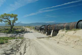 The old Los Angeles Aquaduct crosses the Antelope Valley near 260 St. W.
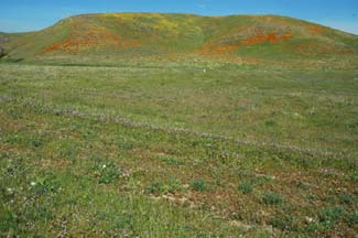 California Poppies are starting to add color to the hillsides near Quail Lake and Gorman.
 More pictures of wildflowers in the Antelope Valley from three earlier trips.
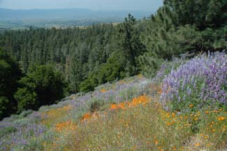 Figueroa Mountain in Santa Barbara County is home to a wide variety of wildflowers.
- advertisement -
22827622- advertisement -
Send a message to Brian .